|
Tibet Tour April/May 2001 |
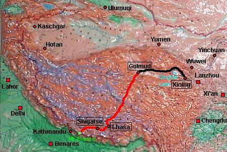
Section 1: From Xining to Golmud
![]()
source: CIA
map, available from the University
of Texas at Austin
(link to detailed map)
![]()
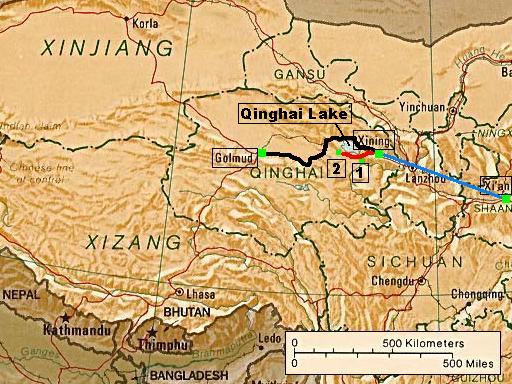
Our trip started with a short visit of the ancient city Xi'an, followed by a
flight to Xining, the capital of the remote Chinese Qinghai province. After a
2-days round trip to Ta'er monastery [1] and Bird Island [2], we took the night
train to Golmud, the current end station of the railway and last outpost on the
way to Tibet.
![]()
![]()
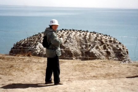
Qinghai Lake
The Qinghai Lake (Koko Nor) is a saline lake in the Qinghai province. It's the largest lake in China. The main attraction is
Bird Island, 300 km west of Xining.
![]()
![]()
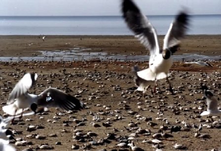
Bird Island
Bird Island is nowadays no more an island, because the lake shore receded and
made it part of the mainland. But it's still between March and early June the
breeding ground for thousands of wild geese, gulls, cormorants and many other
bird species.
![]()
![]()
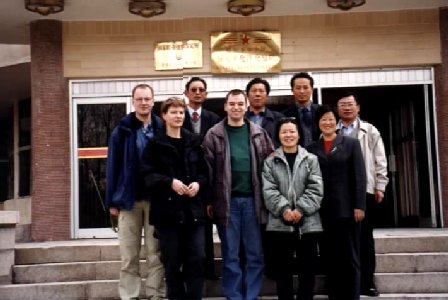
Invitation in Golmud
Golmud (Ge er mu) praises itself as "Pearl at the foot of the Kunlun Mountains", but
actual it is not much more than a drab little Chinese town. The photo shows our group together with
some "friends of friends", who tried to help us with the organisation,
in front of a restaurant after an invitation.