|
Tibet Tour April/May 2001 |
Section 2: From Golmud to Lhasa
![]()
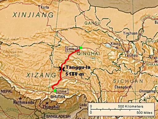
source: CIA
map, available from the University
of Texas at Austin
(link to detailed map)
![]()
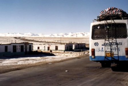
This trip on the Qinghai-Tibet Highway in a dirty,
clapped-out Chinese sleeper bus 1115 km across the Tibetan plateau takes between 26 and 50 hours, in our case two nights
and one day.
![]()
![]()
Breakdown in the middle of Nowhere
Our bus during one of several repair stops at a small Tibetan village on the
flat, barren Tibetan plateau at an altitude of 4500 m.
![]()
![]()
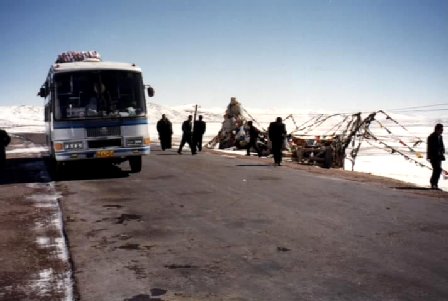
Once in a Lifetime Trip
The flat Tangu-la pass is with 5180 m the highest point on the Qinghai-Tibet
Highway. Most passengers in the bus felt weak and wobbly, and some had to breath
from oxygen bottles, which were sold in Golmud or in the bus for the double
price.
![]()
![]()
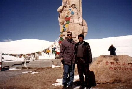
Tangu-la pass
This photo shows me and one of the three bus drivers on the mountain pass.
The white or colored rags in the background are prayer flags, as they can be
seen on every pass in Tibet.